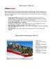
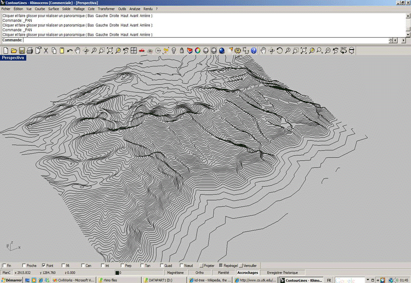
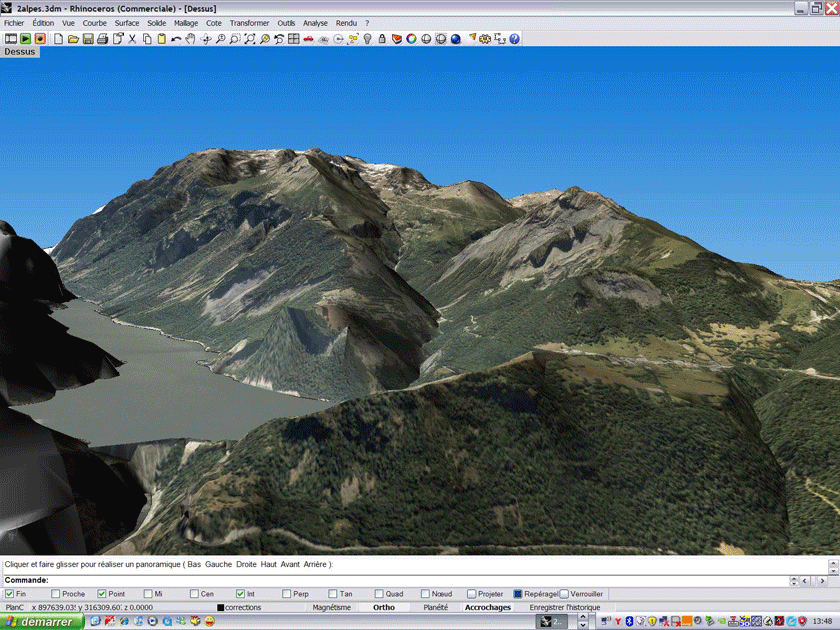
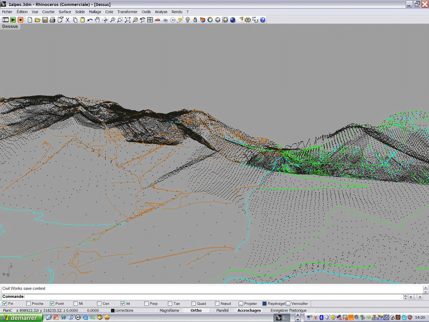
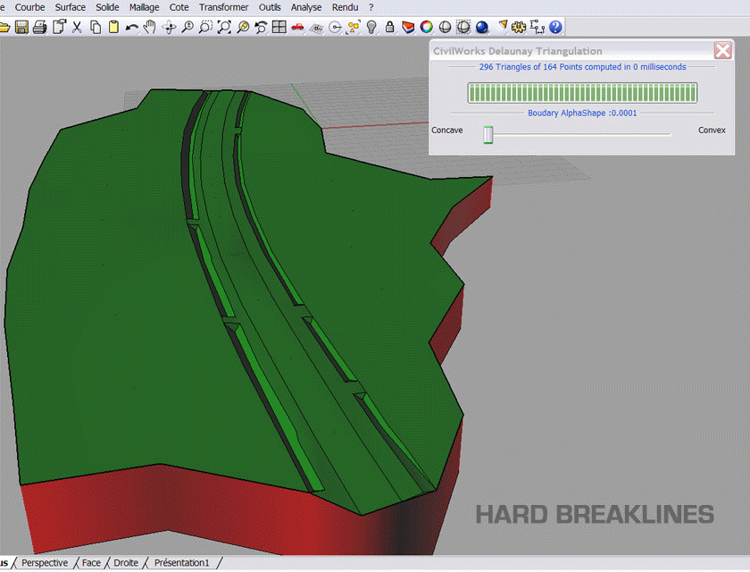
Rhino Terrain can take geographic data from large data sets and create realistic terrain visualizations. The data is rendered into formats compatible with 3D printing. Analysis tools for slope and gradient are available for texture coloring.
IMPORTANT INSTALL NOTE
The Rhino Terrain Install requires extra steps other than running the binary. Please read the "Install" document in the Documents section below.
INDEX
Documents
| 
| 
| 
| 
|
| RT-1.5 Desc. English | RT-1.5 Desc. French | RT Brochure | RT Intro | RT Install Notes |
Downloads
- Rhino Terrain v1.5 Commercial 20090829: rhino_terrain_1.5_commercial-20090829.exe
- Rhino Terrain v1.5 Commercial 20090415: rhino_terrain_1.5_commercial-20090415.exe
- Rhino Terrain v1.5 Demo: rhino_terrain_demo-v1.5.exe
- Rhino Terrain v1.0 Demo: rhino_terrain_demo-v1.0.exe
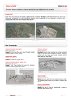
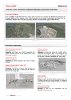
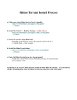
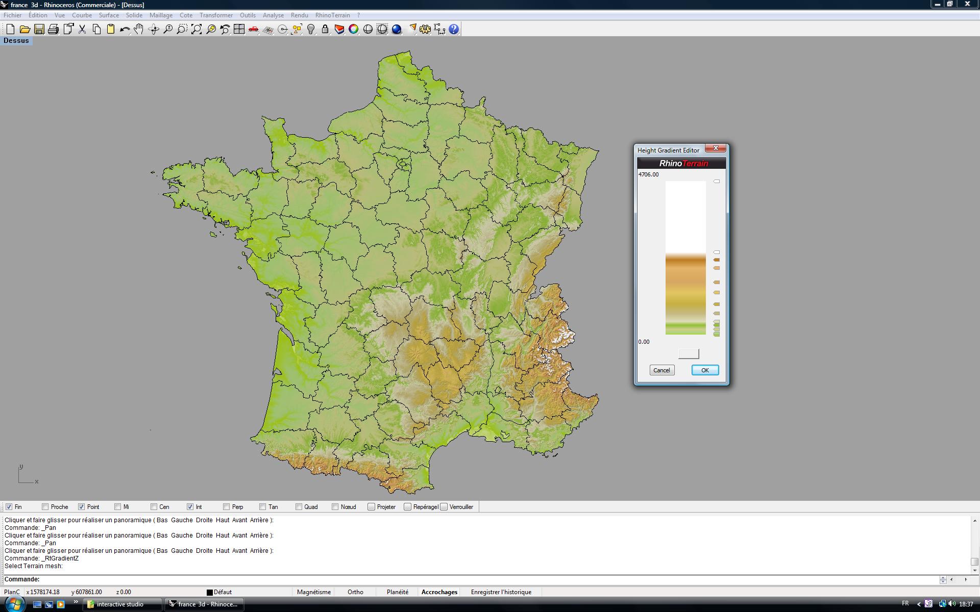
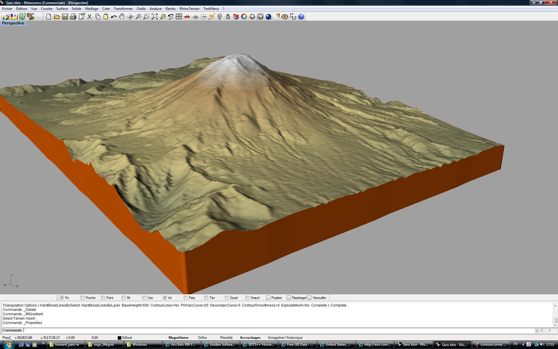
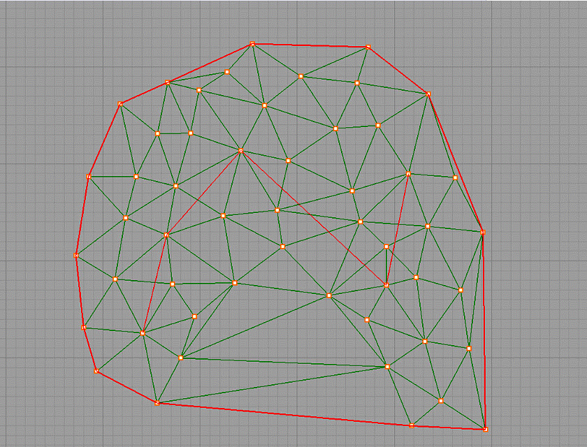
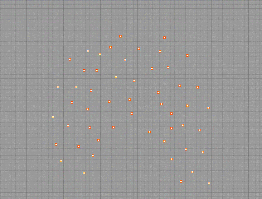
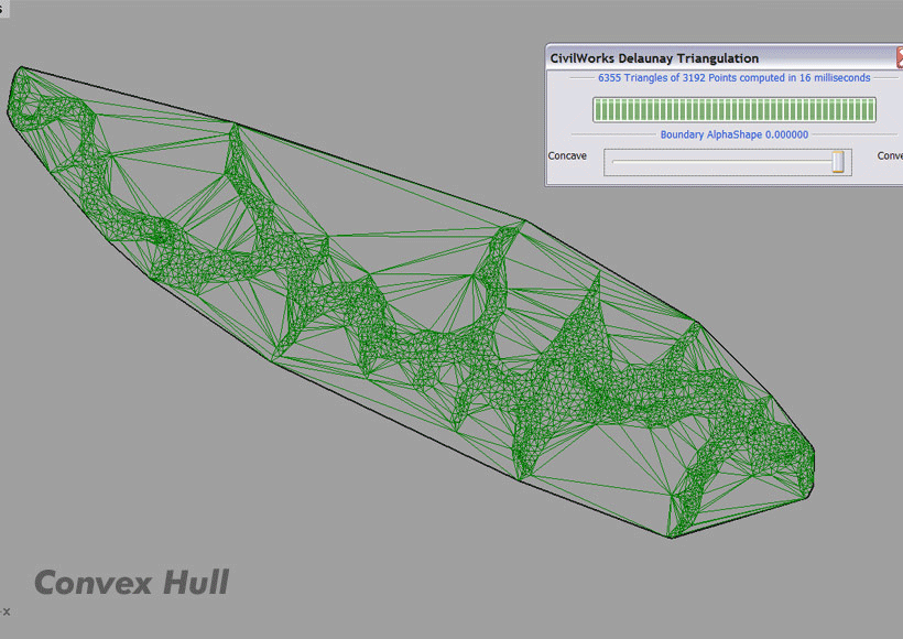
Image Gallery (click for larger view)
 |
 |
 |
 |
 |
| France Altitude Map | Mt St Helens Before | Mt St Helens After | View of Palo Alto | View of San Francisco |
Animated Gif Gallery (click for larger view)
 |
 |
 |
 |
 |
| constrain | highspeed | concave_convex | curvesresult | geo |
 |
 |
| hard_soft | orthophoto |
Utilities
-
Microsoft has released multiple versions of this binary without version numbers. This is the latest version that we know of, and it is in sync
with the Rhino3D repository as of the date shown.
- Visual C++ RunTime Package 20100202: vcredist_x86.exe
